Wednesday, August 15th
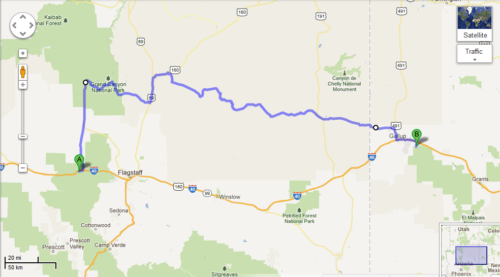
Our day started with a walk around downtown Williams along Route 66, which was not quite as happening during the morning as it was the night before, most likely because all of the tourists had already headed out to the Grand Canyon. So, after picking up a few things from Safeway, we followed in their footsteps, ahem, road tracks. Since Chase had spent four months working in the canyon in 2009, he acted as tour guide for the day. We stopped at several scenic viewpoints, but we avoided the overcrowded first view of the canyon at Mather Point and instead spent a while at Yavapai Point and the geology museum there. After cruising around the village, we stopped in at Yavapai Lodge, the hotel where Chase used to work. Luckily, we were able to catch Amy, Chase’s former manager, before she had to run to a Safety Committee meeting. It was great to see Amy again for a couple minutes, but it certainly wasn’t enough time; and ironically, next month she’ll be in Talkeetna while we are both in Tallahassee.
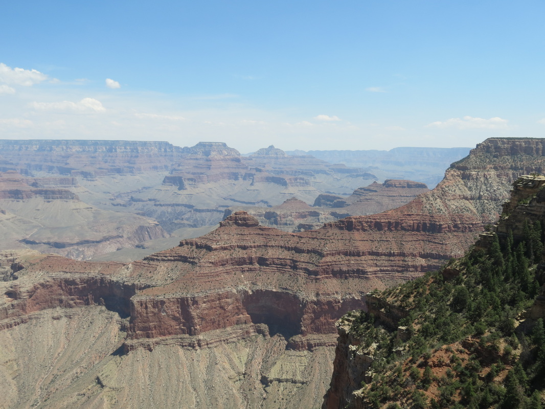
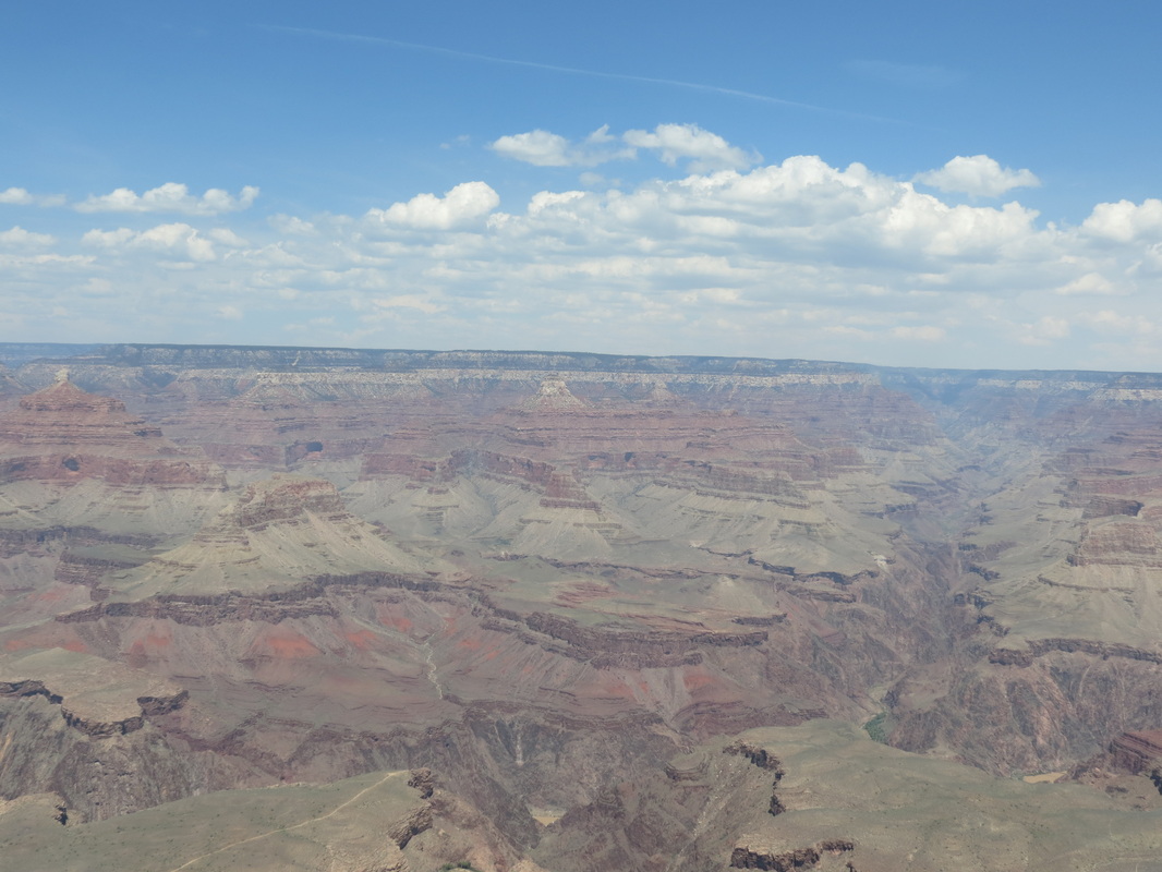
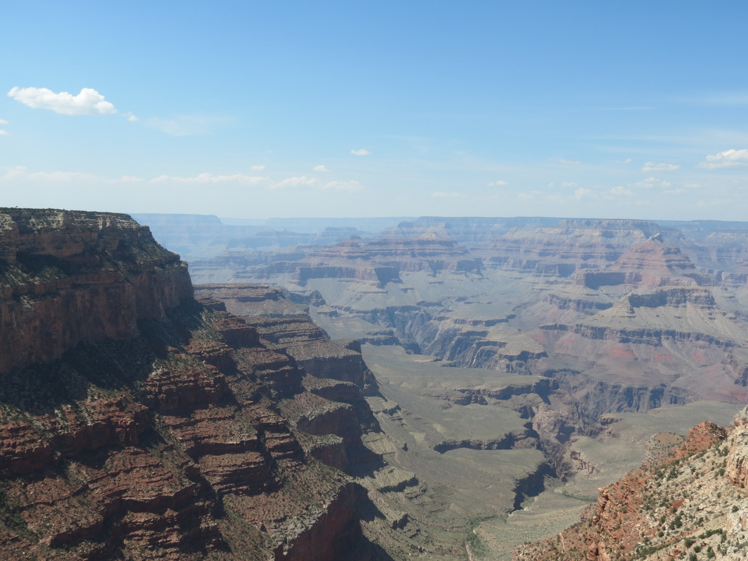
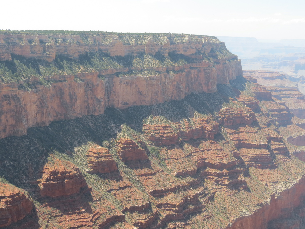
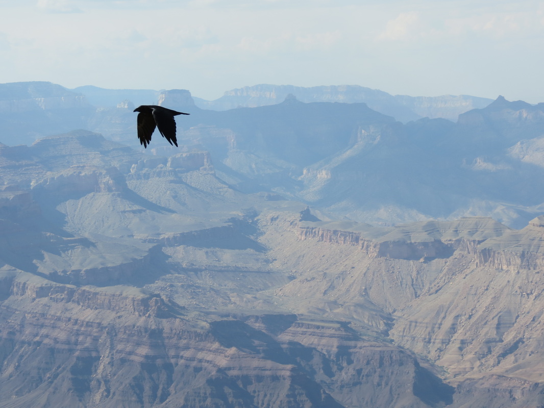
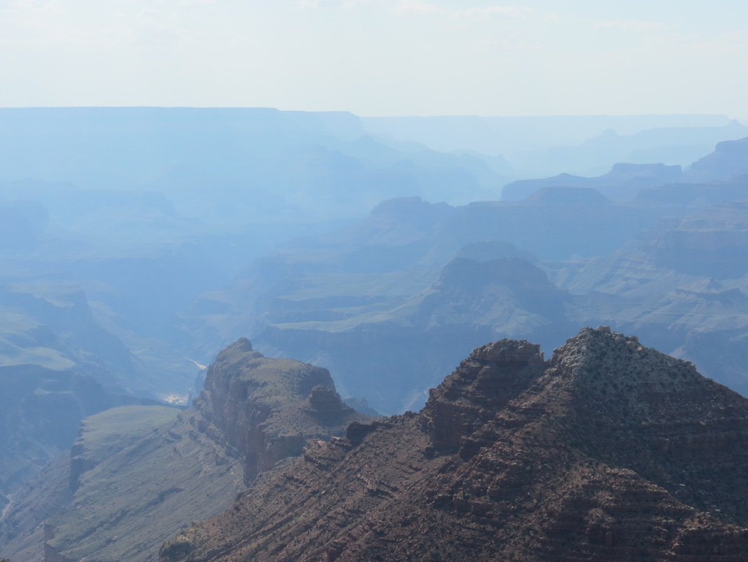
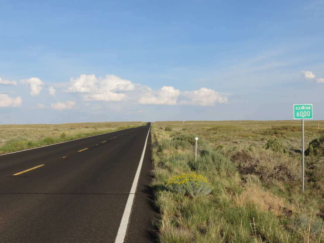
At Yavapai, we had to make a decision regarding which route to take: to retrace our morning journey and quickly get back on I-40 or to spend more time driving east in the canyon and take the back roads through the Navajo Nation Reservation. We checked out a few more viewpoints along the rim of the canyon, including Moran Point, the Tusayan Ruins and Museum, the Desert View and Watchtower, and one unnamed overlook where we spent most of the day (at the overlook, we also had the pleasure of overhearing a few conversations, most notably a teenager who wanted to cut down all of the trees so he could see more). Leaving the canyon, we passed a couple of smaller canyons, which were beautiful but certainly not Grand. The roads through Cameron and Tuba City led us past red rocks and into the high plains, which peaked at elevation 7750, not only the highest elevation for the day's drive but also the highest point we have reached on our trip.
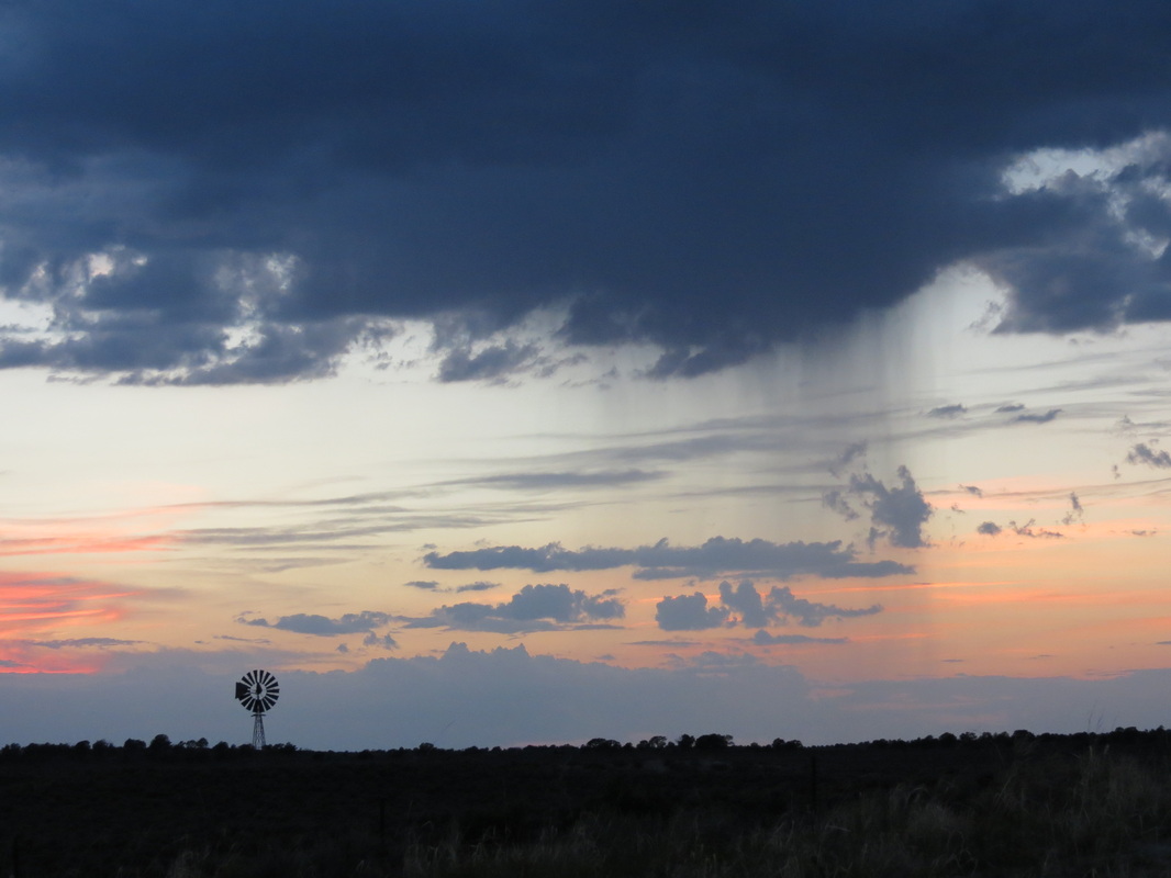
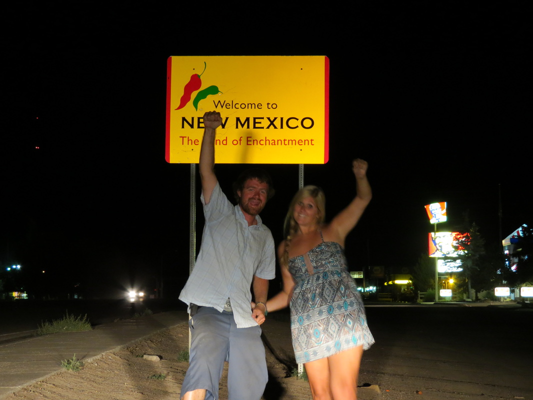
We had stopped in Tuba City for gas, and the gas station attendant had told Chase that highway 264 was a straight shot out into the desert wilderness and camping would be easy along the road. Unfortunately, much to the contrary, the road was notably twisty and curvy around rock formations; this prevented us from making good time and made it harder to eat the ice cream we had bought in Tuba City. Furthermore, the road was very highly populated, with towns every few miles and nowhere to pull off and camp. Because of that we drove later than we normally do, passing into New Mexico after dark to camp in the Cibola National Forest.
“Later” is kind of relative though, because we didn’t exactly have a clear idea of what time it was. Arizona is in Pacific time, though the state does not follow Daylight Savings Time, though the Navajo Nation Reservation does follow Daylight Savings Time, though some towns in the reservation don’t, and then New Mexico is in Mountain Time and is different altogether! Rather than trying to keep it straight, we just set up camp and slept when we were tired.
 RSS Feed