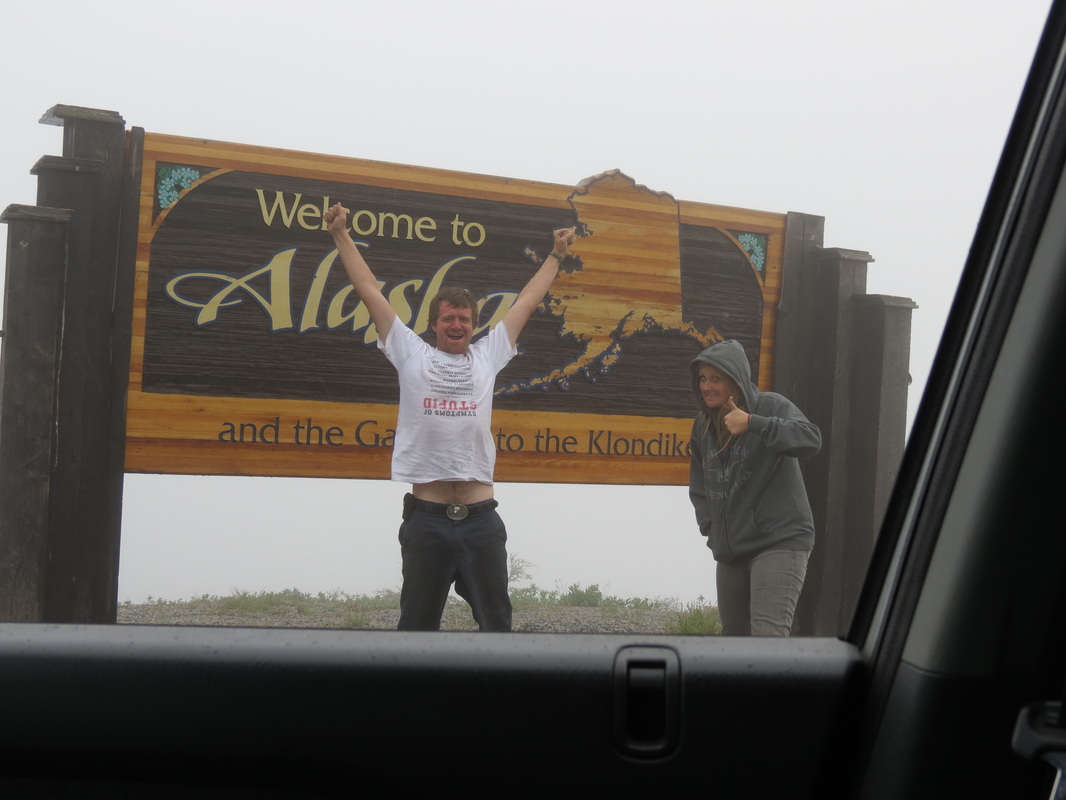
Sunday, August 5th
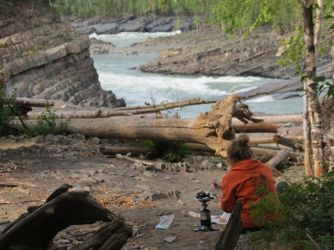
We woke up early and packed up camp before the mosquitoes had a chance to catch us again. Not too far down the road, we found a perfect place to make breakfast (that we wish we had found the night before!) at Whirlpool Canyon. The Liard River makes a screaming right turn, and during spring break-up, the ice floes take out a lot of trees along the river and deposit them on the shore here as they cannot make the turn with the very fast-moving water. The shape of the rocks below the scattered trees also reflects the power of the water and ice during break-up over the years, as the layers of shale, too, are broken up at harsh angles.
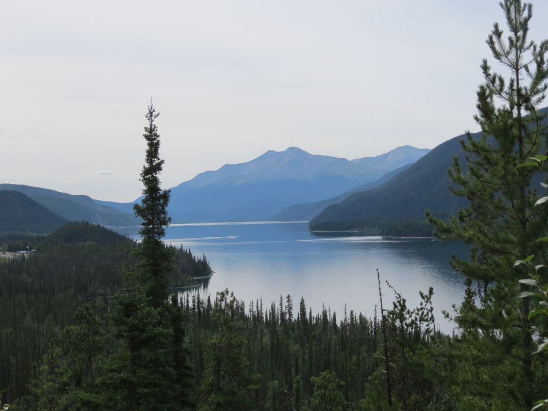
On our drive to Liard Hotsprings down the river, we were lucky to glimpse a lot of wildlife from the road—two herds of buffalo, a black bear, and many birds. Once reaching Liard, we were disappointed to be turned away, as the boardwalk-lined hot springs were blocked with crime scene caution tape from an event the day before. We spotted a helicopter and a four-wheeler along the road nearby, but we have still yet to spot anything in the Vancouver Sun or on the CBC about what happened there. Leaving Liard Hotsprings, we drove past the jade-colored Muncho Lake and on to the Toad River Lodge.
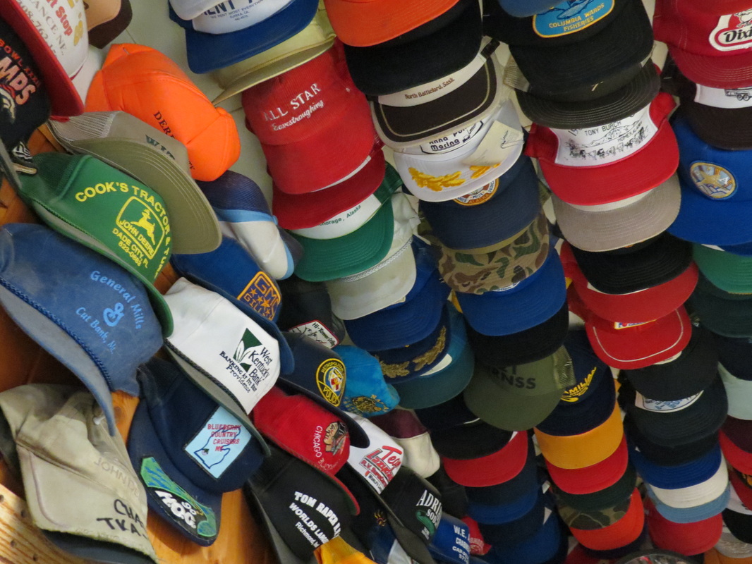
Chase added his well-worn John Deere hat (the front of which had completely fallen apart while we were tubing in Vang Vieng, Laos, earlier this summer) to the lodge’s famous collection, making 8,189 hats. He hung the hat in a small cluster above the beef jerky section of the shop and took his registration card for memories.
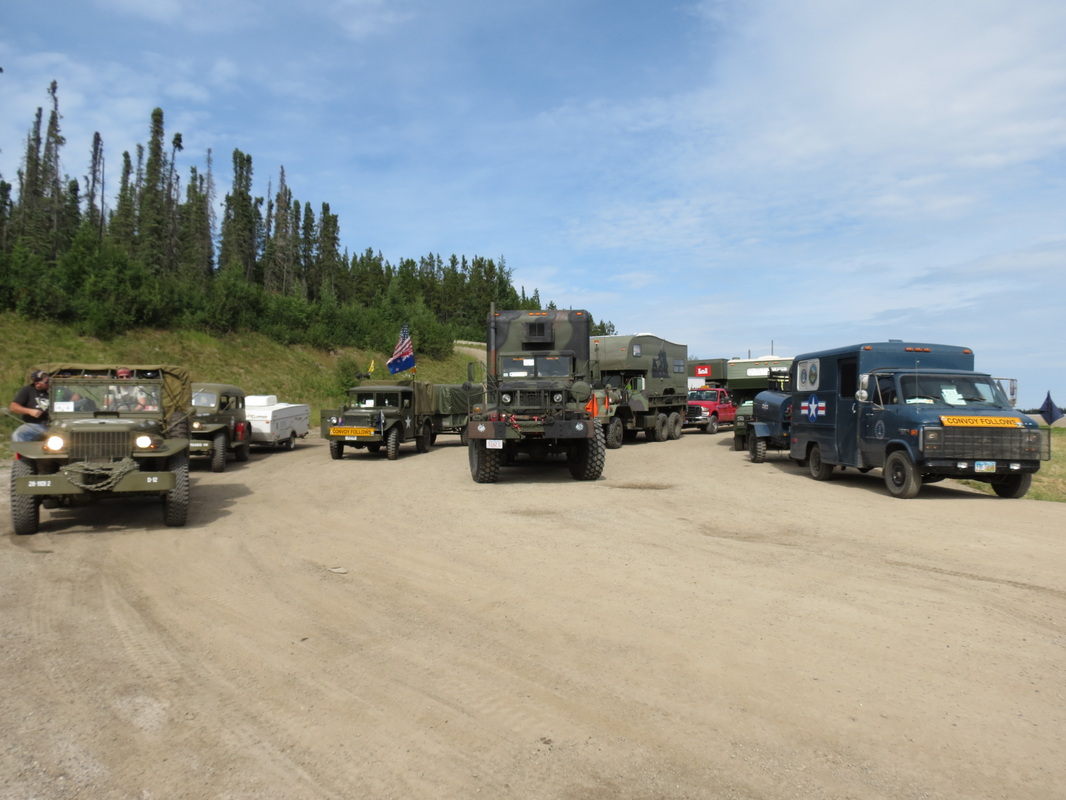
As we traveled through the Rockies, we were excited to see the Military Vehicles Preservation Association convoy lining up at the top of a mountain to begin the day’s drive, a leg of their trip the length of the Alaska Highway to celebrate the 70th anniversary of its construction. There were over seventy vintage vehicles, mostly World War II era, and fifteen support vehicles. The owners of the vehicles were private collectors who had restored their vehicles and, in the cases of the larger trucks-turned-RVs, fixed them up to make such a cross-country drive. Our favorites, though, were the smaller Jeep CJ-2As, and there were at least fifteen or twenty of them in the line-up.
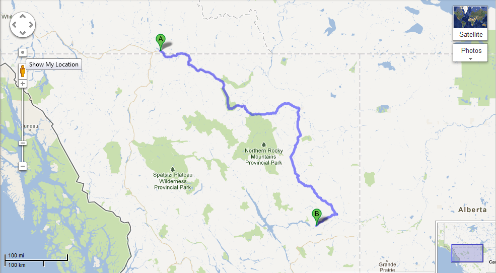
As the convoy headed out to Toad River, we continued in the opposite direction on the highway towards Fort Nelson, where we stopped for gas and groceries. From there, we traveled a little further down the road and cooked dinner at the First Nations Prophet River area. After dinner, we drove our last section of the Alaska Highway and got onto the Hudson’s Hope Loop, which took us alongside the beautiful Peace River until we stopped at an overlook rest area to set up camp for the night.
As the convoy headed out to Toad River, we continued in the opposite direction on the highway towards Fort Nelson, where we stopped for gas and groceries. From there, we traveled a little further down the road and cooked dinner at the First Nations Prophet River area. After dinner, we drove our last section of the Alaska Highway and got onto the Hudson’s Hope Loop, which took us alongside the beautiful Peace River until we stopped at an overlook rest area to set up camp for the night.
 RSS Feed