Wednesday, August 15th
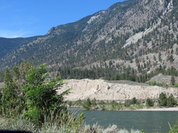
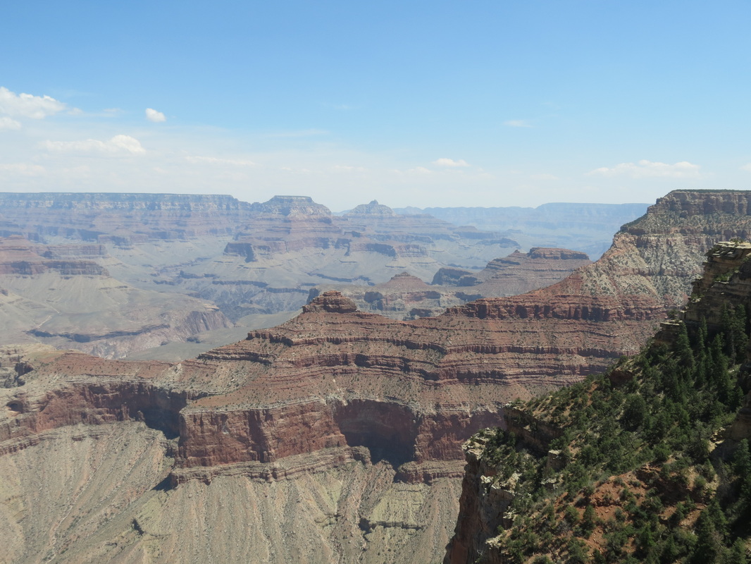
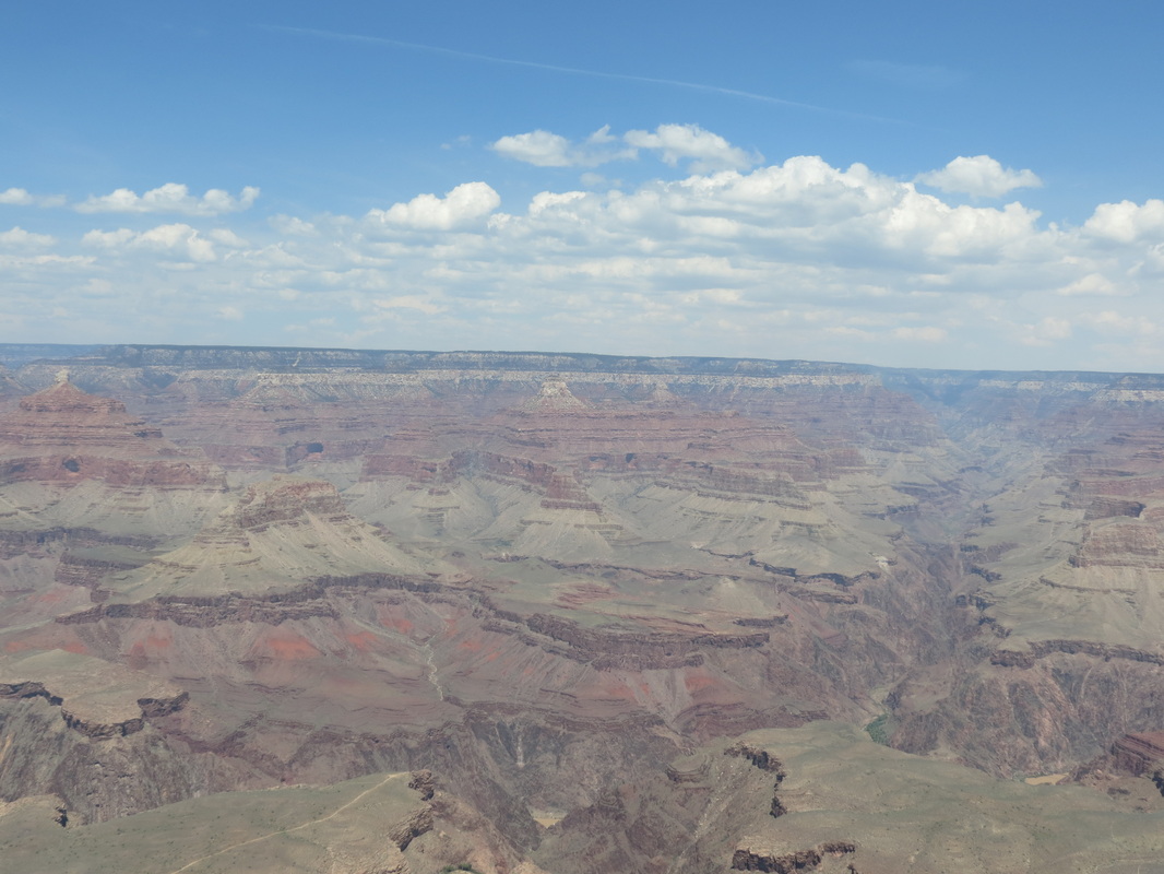
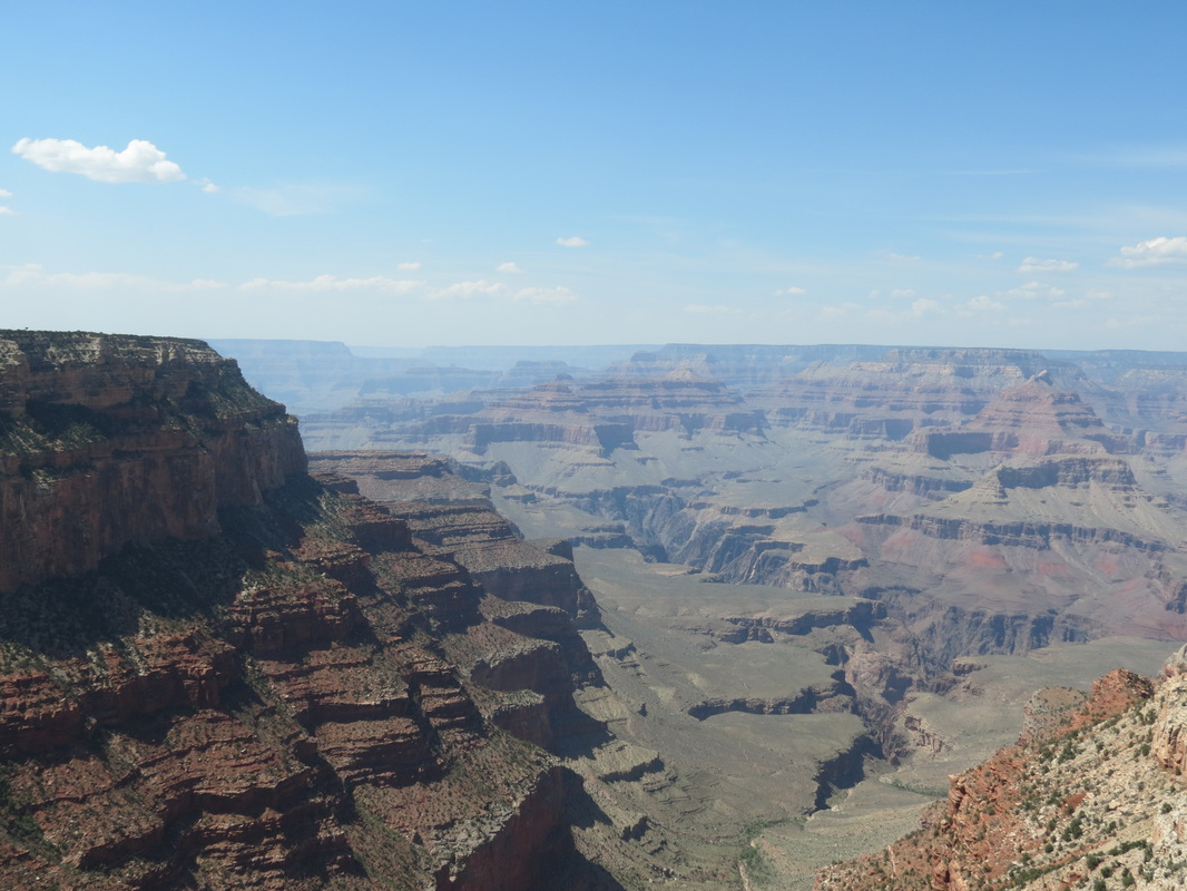
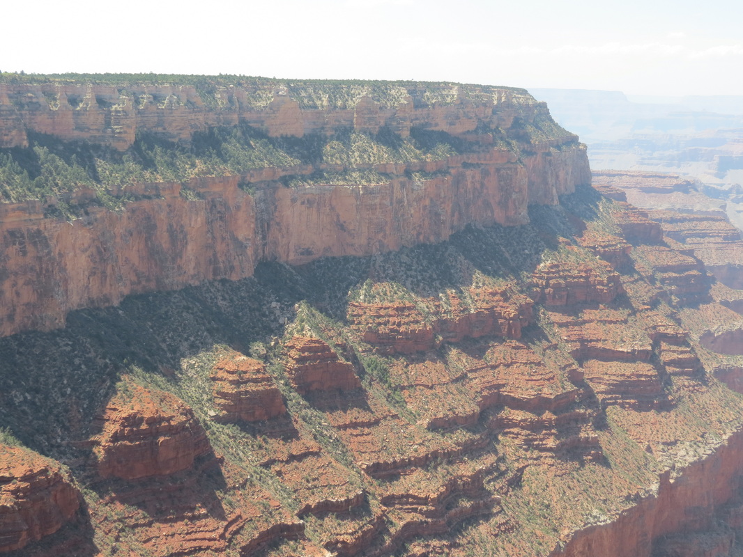
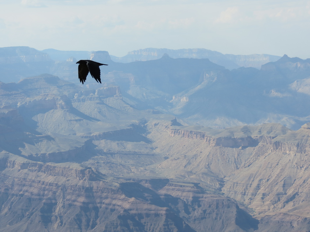
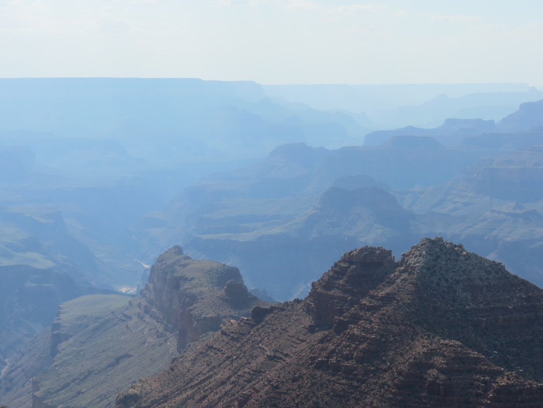
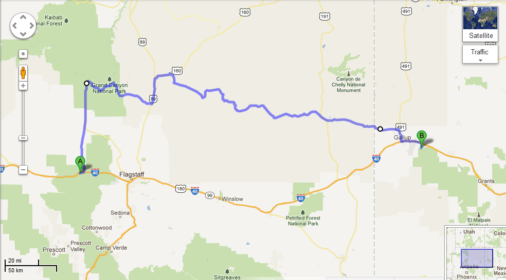
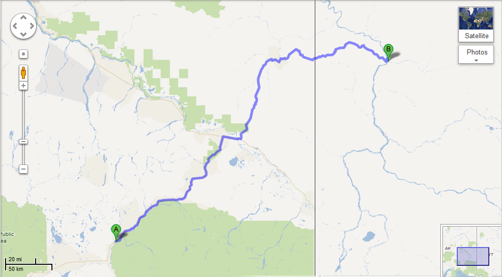
_ Our day started with a walk around downtown Williams along Route 66, which was not quite as happening during the morning as it was the night before, most likely because all of the tourists had already headed out to the Grand Canyon. So, after picking up a few things from Safeway, we followed in their footsteps, ahem, road tracks. Since Chase had spent four months working in the canyon in 2009, he acted as tour guide for the day. We stopped at several scenic viewpoints, but we avoided the overcrowded first view of the canyon at Mather Point and instead spent a while at Yavapai Point and the geology museum there. After cruising around the village, we stopped in at Yavapai Lodge, the hotel where Chase used to work. Luckily, we were able to catch Amy, Chase’s former manager, before she had to run to a Safety Committee meeting. It was great to see Amy again for a couple minutes, but it certainly wasn’t enough time; and ironically, next month she’ll be in Talkeetna while we are both in Tallahassee. 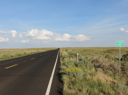 _ At Yavapai, we had to make a decision regarding which route to take: to retrace our morning journey and quickly get back on I-40 or to spend more time driving east in the canyon and take the back roads through the Navajo Nation Reservation. We checked out a few more viewpoints along the rim of the canyon, including Moran Point, the Tusayan Ruins and Museum, the Desert View and Watchtower, and one unnamed overlook where we spent most of the day (at the overlook, we also had the pleasure of overhearing a few conversations, most notably a teenager who wanted to cut down all of the trees so he could see more). Leaving the canyon, we passed a couple of smaller canyons, which were beautiful but certainly not Grand. The roads through Cameron and Tuba City led us past red rocks and into the high plains, which peaked at elevation 7750, not only the highest elevation for the day's drive but also the highest point we have reached on our trip.
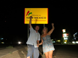
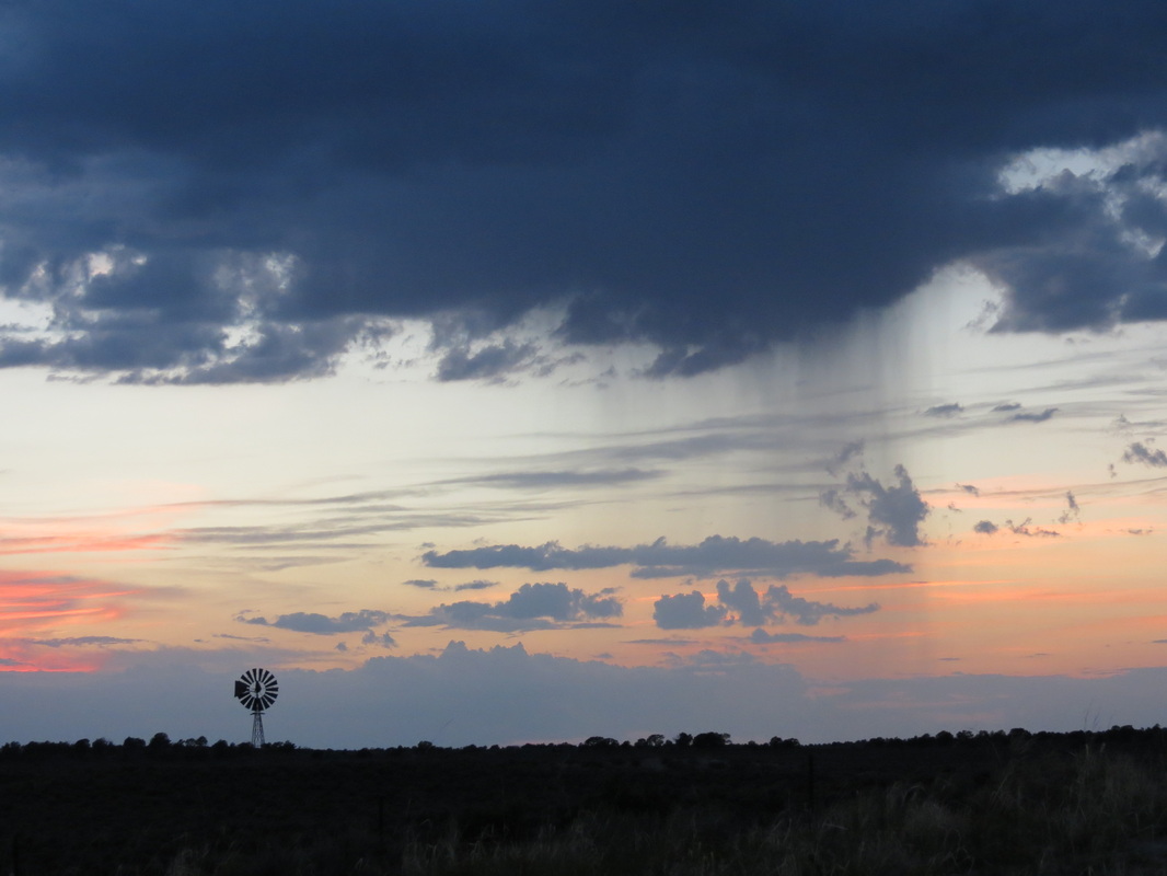
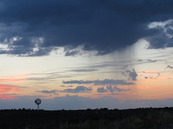 _ We had stopped in Tuba City for gas, and the gas station attendant had told Chase that highway 264 was a straight shot out into the desert wilderness and camping would be easy along the road. Unfortunately, much to the contrary, the road was notably twisty and curvy around rock formations; this prevented us from making good time and made it harder to eat the ice cream we had bought in Tuba City. Furthermore, the road was very highly populated, with towns every few miles and nowhere to pull off and camp. Because of that we drove later than we normally do, passing into New Mexico after dark to camp in the Cibola National Forest.
 _ “Later” is kind of relative though, because we didn’t exactly have a clear idea of what time it was. Arizona is in Pacific time, though the state does not follow Daylight Savings Time, though the Navajo Nation Reservation does follow Daylight Savings Time, though some towns in the reservation don’t, and then New Mexico is in Mountain Time and is different altogether! Rather than trying to keep it straight, we just set up camp and slept when we were tired.
Tuesday, August 7th
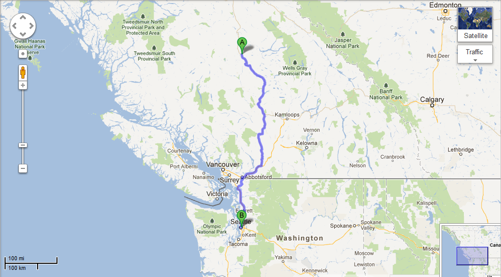
 _ Once again, we had the pleasure of packing up camp in the rain; we went to sleep with a nice lightning show above and assume the rain started shortly afterward. The benefit of a rainy morning is that it got us on the road nice and early! After a couple of hours we drove out of the rain and stopped at an overlook near Big Bar Lake to cook up some breakfast. After passing through British Columbia’s agricultural district for a couple hours, we made it off Highway 29 and onto the Trans-Canada Highway to drive through the Fraser Canyon. The Fraser Canyon is a narrow, rocky canyon cut by the Fraser River, and the two-lane road follows the path of the river while clinging to the side of the cliff.
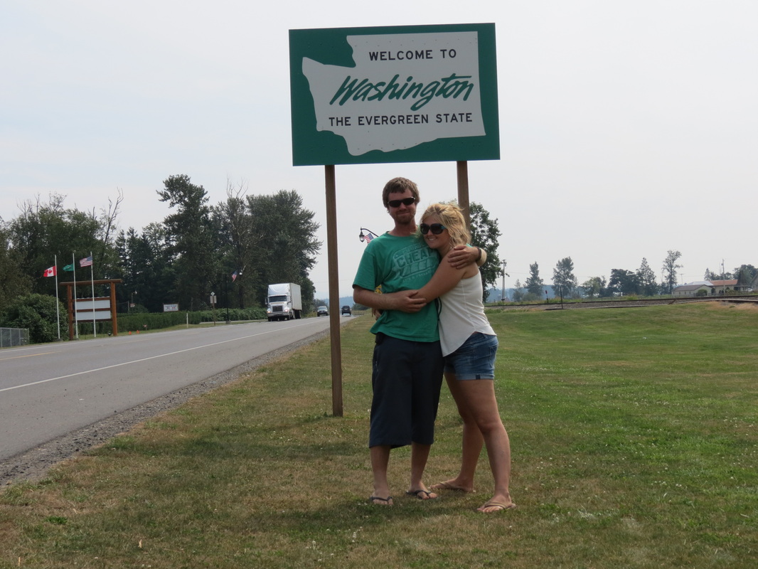
 _ Once through the Canyon we had one last Canadian stop in Chilliwack, by far our most successful shopping attempt of the trip. We were able to do a last-minute stop for Canadian chocolates and beer not available south of the border, as well as some other errands that needed to be run. We sped immediately from Chilliwack to Abbotsford, where we crossed the border for the last time into the Lower 48! Another easy border crossing (where we did declare our Timbits, or donut holes from Tim Horton’s), we found ourselves in Sumas, Washington.
 _ Two hours of interstate travel later we stopped in Kirkland, Washington, to visit our friend Alison. It was great to reconnect, and we took a walk through beautiful Kirkland past the Wilde Rover, the scene of past adventures of Charla and Allison. Our destination this evening was just next door at Hanuman Thai Café, Charla’s first Thai food since leaving Thailand earlier this summer. The prices were a little higher than Bangkok street-food (though also significantly lower than prices in Talkeetna), but Charla still approved of the cuisine. Later that evening we headed into Seattle to visit Noelle, one of Chase’s friends from Talkeetna. We quickly all became friends and slept soundly that night rocked by the waves of Lake Union.
Sunday, August 5th
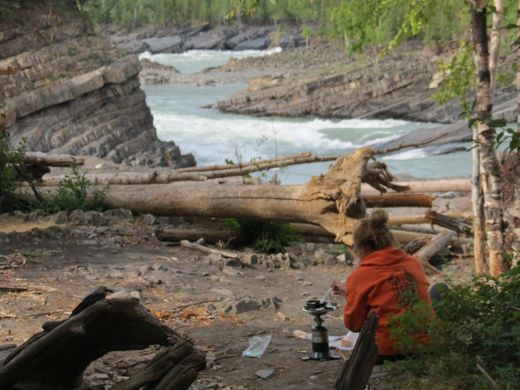
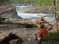 _ We woke up early and packed up camp before the mosquitoes had a chance to catch us again. Not too far down the road, we found a perfect place to make breakfast (that we wish we had found the night before!) at Whirlpool Canyon. The Liard River makes a screaming right turn, and during spring break-up, the ice floes take out a lot of trees along the river and deposit them on the shore here as they cannot make the turn with the very fast-moving water. The shape of the rocks below the scattered trees also reflects the power of the water and ice during break-up over the years, as the layers of shale, too, are broken up at harsh angles.
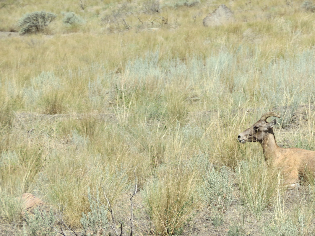
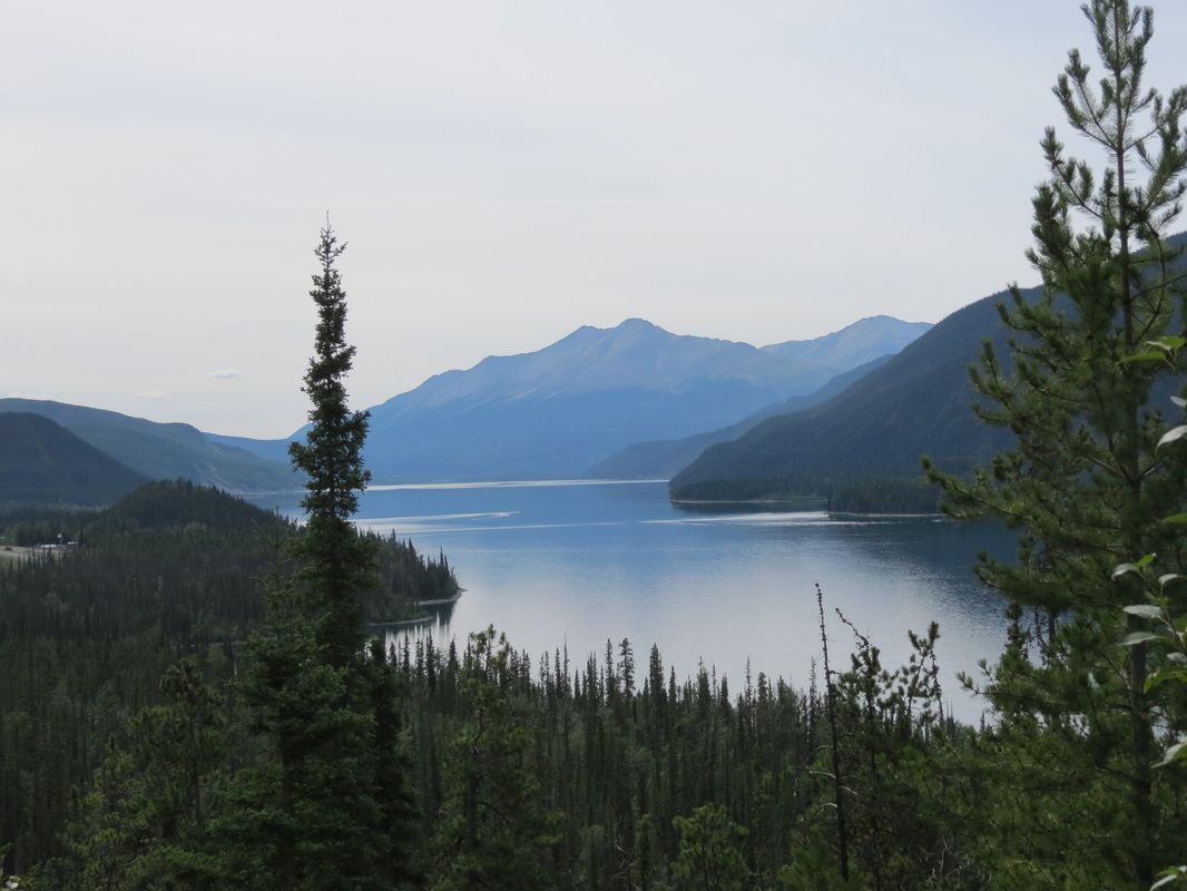
 _ On our drive to Liard Hotsprings down the river, we were lucky to glimpse a lot of wildlife from the road—two herds of buffalo, a black bear, and many birds. Once reaching Liard, we were disappointed to be turned away, as the boardwalk-lined hot springs were blocked with crime scene caution tape from an event the day before. We spotted a helicopter and a four-wheeler along the road nearby, but we have still yet to spot anything in the Vancouver Sun or on the CBC about what happened there. Leaving Liard Hotsprings, we drove past the jade-colored Muncho Lake and on to the Toad River Lodge.
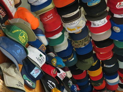 _ Chase added his well-worn John Deere hat (the front of which had completely fallen apart while we were tubing in Vang Vieng, Laos, earlier this summer) to the lodge’s famous collection, making 8,189 hats. He hung the hat in a small cluster above the beef jerky section of the shop and took his registration card for memories.
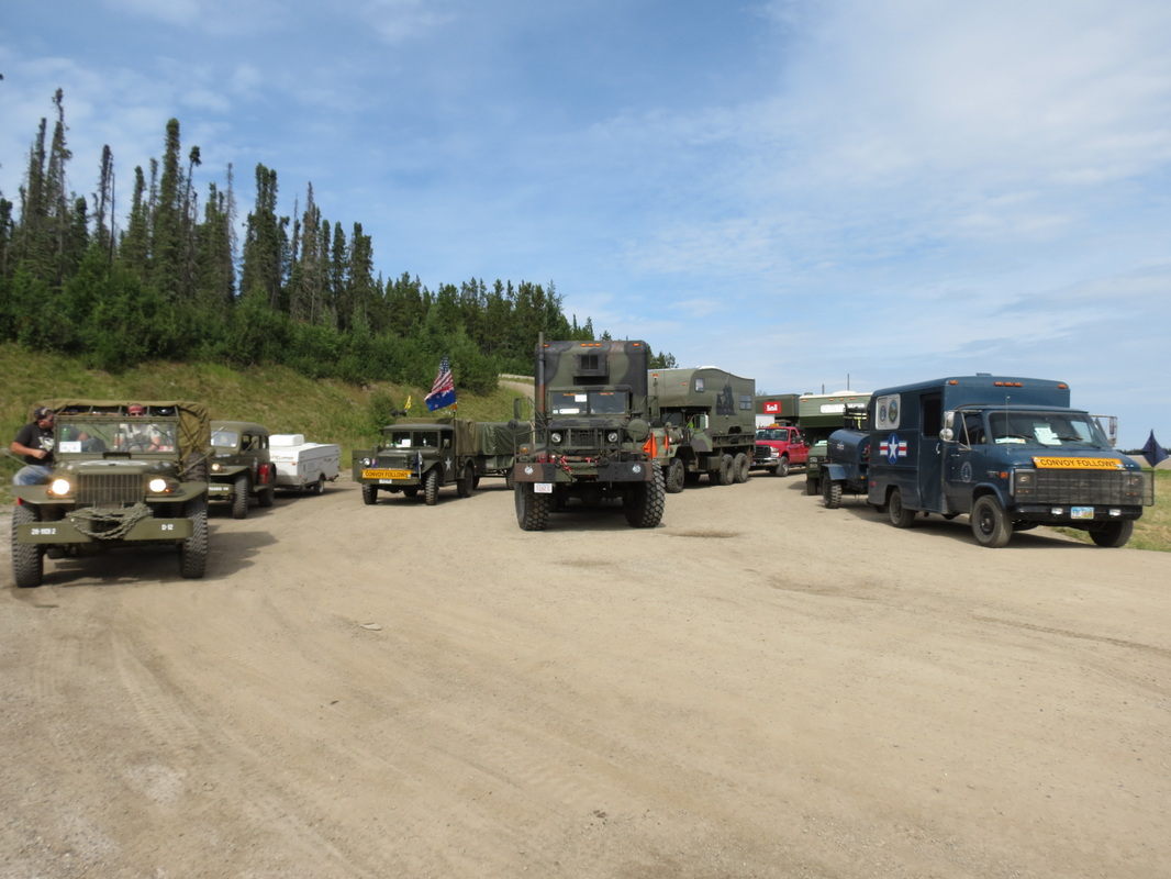
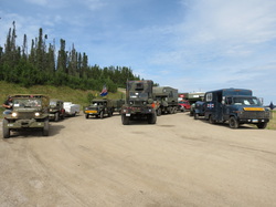 _ As we traveled through the Rockies, we were excited to see the Military Vehicles Preservation Association convoy lining up at the top of a mountain to begin the day’s drive, a leg of their trip the length of the Alaska Highway to celebrate the 70th anniversary of its construction. There were over seventy vintage vehicles, mostly World War II era, and fifteen support vehicles. The owners of the vehicles were private collectors who had restored their vehicles and, in the cases of the larger trucks-turned-RVs, fixed them up to make such a cross-country drive. Our favorites, though, were the smaller Jeep CJ-2As, and there were at least fifteen or twenty of them in the line-up. As the convoy headed out to Toad River, we continued in the opposite direction on the highway towards Fort Nelson, where we stopped for gas and groceries. From there, we traveled a little further down the road and cooked dinner at the First Nations Prophet River area. After dinner, we drove our last section of the Alaska Highway and got onto the Hudson’s Hope Loop, which took us alongside the beautiful Peace River until we stopped at an overlook rest area to set up camp for the night.
Thursday, August 2nd
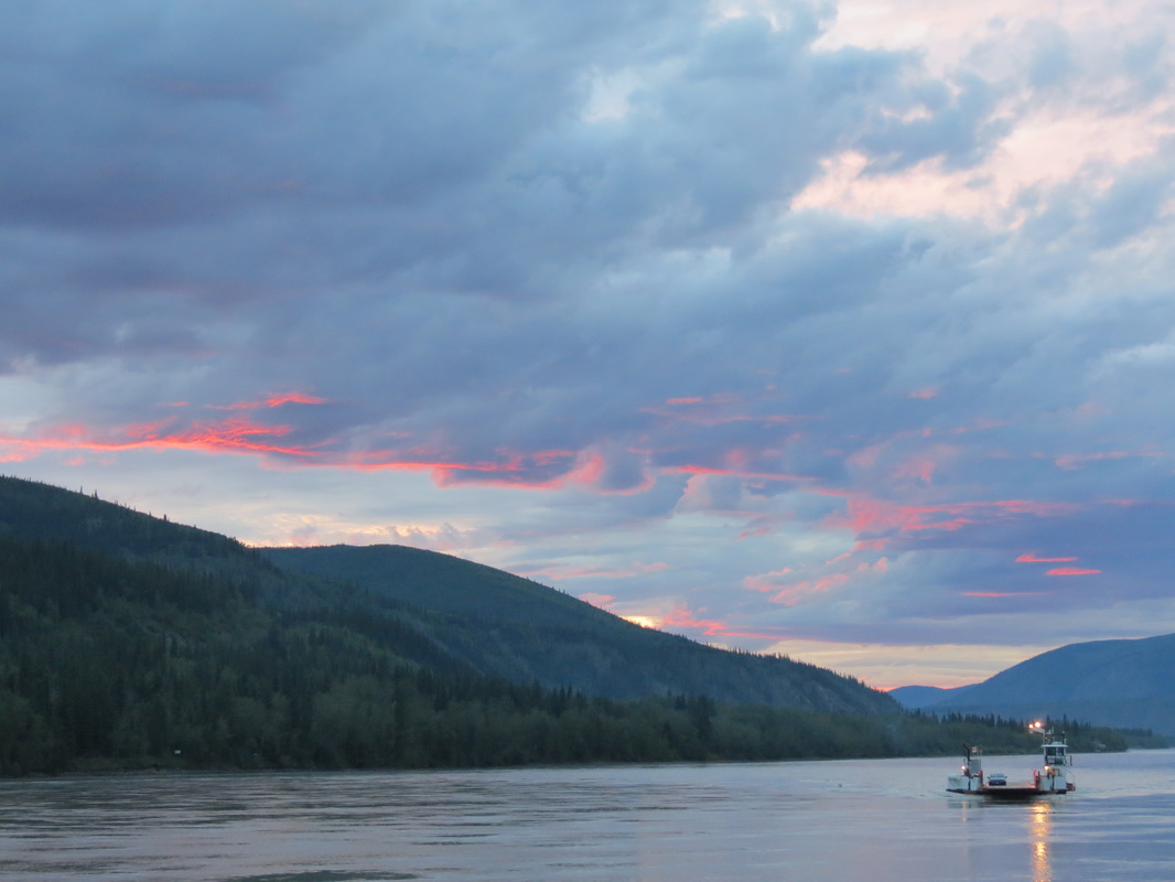
 We started day three by packing up wet gear thanks to a Dawson morning rain shower. Once we got all of our wet gear stowed away for the trip, we got to once again jump on the ferry for our final water crossing of the Yukon River. The ladies at the Visitor Center directed us to the cheapest gas in town, at an industrial Alberta Fuels cardlock system in a mining part of town. After figuring out how to use the most obscure cardlock system in the world, we were finally zooming out of town on the Klondike Highway. We stopped for lunch at Moose Creek, a nice campground though it was lacking the running water that it had advertised. Without rinsing our dishes we were back on the road again. We continued on to Carmacks for a gas stop, and much more excitingly, a Cadbury’s Dairy Milk Mint Chocolate bar that was hiding in the gas station! We stopped to enjoy some morsels of chocolate at Little Fox Lake, the scene of a catastrophic forest fire in 1998. The landscape is still charred and recovering to this day.
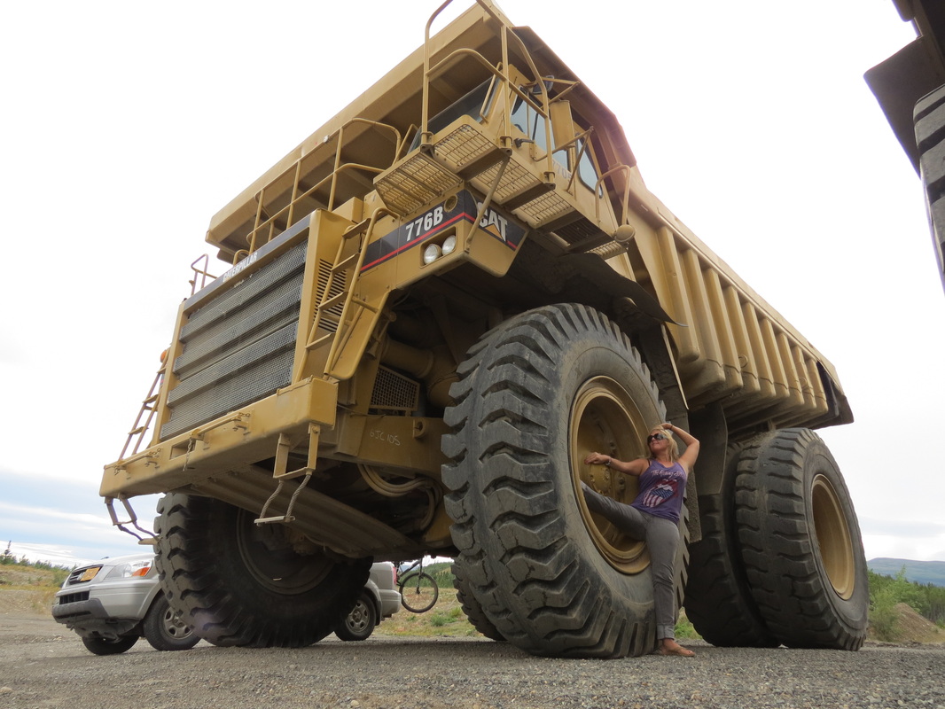
A few miles down the road we arrived at Lake Laberge. We were on an overlook, not quite a marge, but it was still appropriate to have a reading of Robert Service's “The Cremation of Sam McGee.” After the dramatic reading, we took a look around to discover we weren’t merely at an overlook, but we had somehow ventured into a Public Use Quarry, complete with three Caterpillar 776Bs with keys in the ignitions! However tempted we were to rally, we settled with a photo shoot. (Who knows how good the steering would be on a vehicle whose tires are taller than the trusty Pilot?!)_
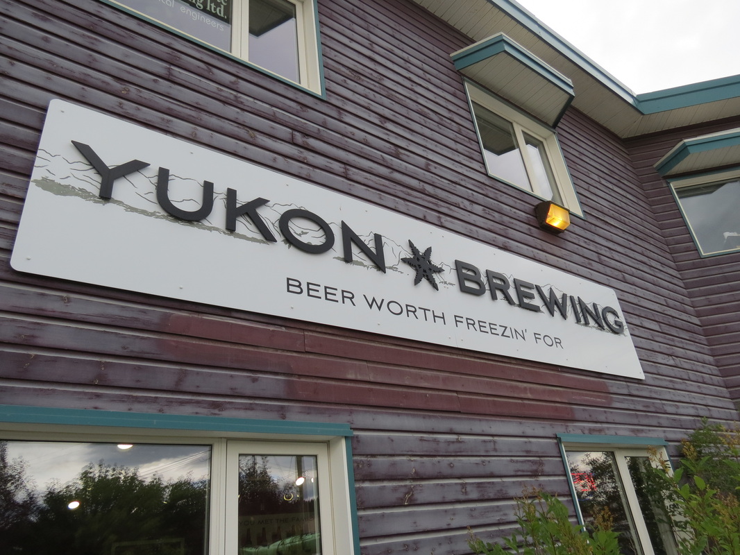
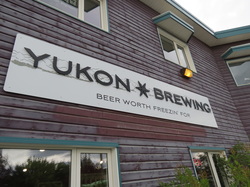 _ Our quarry was quite close to Whitehorse, which features the Yukon Brewery (“Beer Worth Freezin' For”). Unbeknownst to us we had stopped in on International IPA Day, a day we should all be celebrating. After a bit of sampling we decided on a growler of Discovery Honey Ale and bottles of Ice Fog IPA and Midnight Sun Espresso Stout.
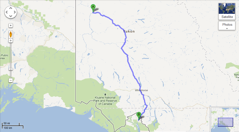
_ Leaving Whitehorse led to our second jaunt of the trip on the Alaska Highway for a few miles until the turn off for the South Klondike Highway to Skagway. For the first time of the trip it was uncharted territory for both of us, but it was a great trip. In addition to the mountains and lakes, we also spotted a fox and a bear on the roadside. Though, in just 35 miles or so between the British Columbia/Yukon border and the BC/Alaska border, conditions changed drastically. After what started as a beautiful trip, we summitted the Pass and descended into Skagway in zero-visibility conditions. The situation quickly improved when we located the Skagway Brewing Company, and improved even further when Freddie got off work just minutes later to join us. Freddie showed us the plush accommodations where he lives with his coworkers, and then we all headed to the Bonanza for a fun-filled Mystery Meat Night at the bar to the sounds of songs that somehow Charla was the only one in the bar to know.
Wednesday, August 1st
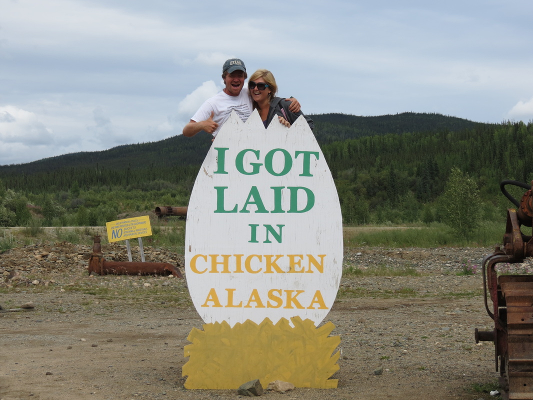
 _ We started the second day of our trip with pancakes made with fresh blueberries and strawberries that Charla picked with Sarah and Logan on Monday afternoon. While Charla was busy at the camp stove, Chase re-packed the Pilot so what we needed was easy to reach and what we didn’t need on this trip (like a snowboard and winter gear) was organized and out of the way. We drove into Tok for gas and some errands, including phone calls before our service cut out (even though Tok is 80 miles from Canada, there isn’t a lot going on in the space between the small town and the border). On the way to Tok, we had a nice surprise and saw a lynx! After ten miles on the Alaska Highway out of Tok, we got on the Taylor Highway to Chicken. Our journey into Chicken started with a big disappointment, as the “Chicken Community” sign formerly covered in an assortment of stickers from travelers had recently been replaced. It was brand spanking new, with the Department of Transportation laminate still peeling off on the corners. Things got better once we got into town, and we got laid in Chicken! We also picked up free chickens that we had earned and met a couple Romanian motorcyclists who were journeying across North America on their own bikes from home. We had one last stop at Downtown Chicken for gas, and luckily for us we paid up and were ready to leave just as two busloads of Princess tourists pulled up to Downtown. The tourists slowly waddled off the bus, cameras in hand, to invade Chicken as we sped out of town.
 _ But we didn’t speed too quickly, as the Taylor Highway ascended up into the mountains and grew increasingly hairy. Just a short time before we passed, a large RV motorcoach with a car in tow had rolled off the side of the mountain and come to rest approximately 150 feet below the road. The Troopers had already cordoned off the scene so we didn’t stop to investigate ourselves, but it didn’t look like a rollercoaster ride we’d have wanted to experience.
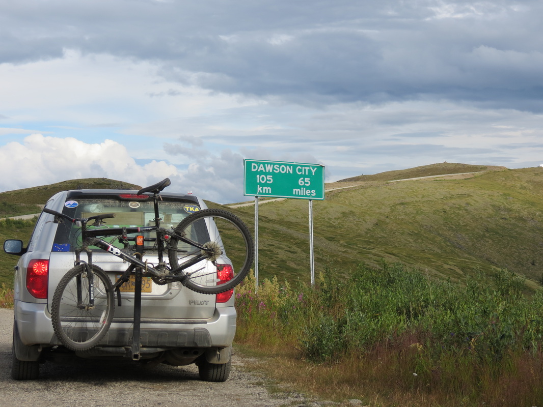
 _ The Taylor Highway becomes the Top of the World Highway as the road becomes Canadian. Luckily we were let across the border without too hard a time from the Canadian Border Security Agent on duty (even though we were smuggling some more of Charla’s freshly-picked berries). We had been foolishly using our time earlier in the day, so we cautiously drove as fast as we dared along the beautiful and treacherous road to Dawson City. Arriving just in time to jump on the George Black, the free ferry across the Yukon River (because the Yukon territorial government hasn’t yet gotten around to building a bridge) we made it to Diamond Tooth Gertie’s just in time for their first can-can show of the evening. Gertie’s is Canada’s oldest casino from before casinos were legal in the Klondike gold rush of the 1890s, and today in addition to gambling Gertie’s offers shows throughout the evening. Told by Diamond Tooth Gertie (the actual proprietor in the 1890s, who actually did have diamonds in her teeth at the time) and her dancing girls, the show tells us how she met Phineas and all the hilarity that ensues. After a dinner between shows at the Triple J Hotel, and the second show at Gertie’s, it was time for one last hop across the ferry to camp in West Dawson.
|


 RSS Feed